Trusted Utility Locating & GPR Scanning Solutions Throughout Wisconsin
Professional Private Utility Locating, Utility Marking, GPR & Concrete Scanning, Underground Utility Mapping, and GPS/GIS Mapping Services Across Wisconsin
ABOUT US
Reliable
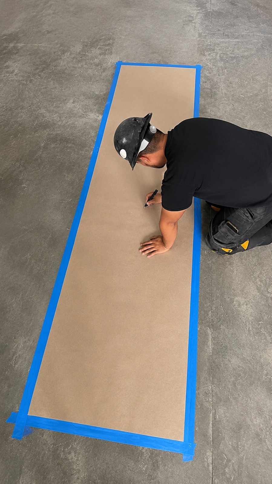
At Utility Locating & Mapping Wisconsin, we provide dependable private utility locating, utility marking, and underground utility mapping services designed to help contractors, property owners, developers, and project teams work with greater confidence. Our services help identify underground infrastructure before excavation, construction, drilling, or other ground-disturbing activities begin. By combining professional locating methods with detailed mapping solutions, we help clients better understand what is beneath their property.
Our team provides a comprehensive range of utility locating and mapping solutions, including Ground Penetrating Radar (GPR) scanning, concrete scanning, GPS/GIS utility mapping, and underground utility mapping. We focus on delivering clear, useful information that can support better project planning and reduce the uncertainty associated with unknown underground utilities. Whether the project involves commercial development, construction, renovation, or infrastructure improvements, our goal is to provide accurate information tailored to the needs of each site.
We are committed to professional service, dependable results, and customer satisfaction on every project we handle. Understanding underground conditions is an important part of planning safe and efficient work, and we strive to make that process straightforward for our clients. From initial utility locating to detailed mapping and marking, Utility Locating & Mapping Wisconsin is dedicated to helping customers make informed decisions and move their projects forward with greater confidence.
Our Services
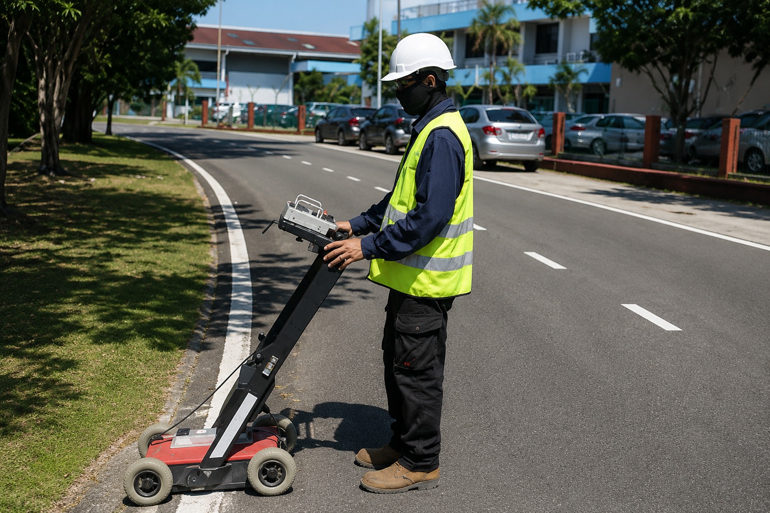
Accurately map underground utilities to support safer excavation, better project planning, and informed construction decisions across Wisconsin.
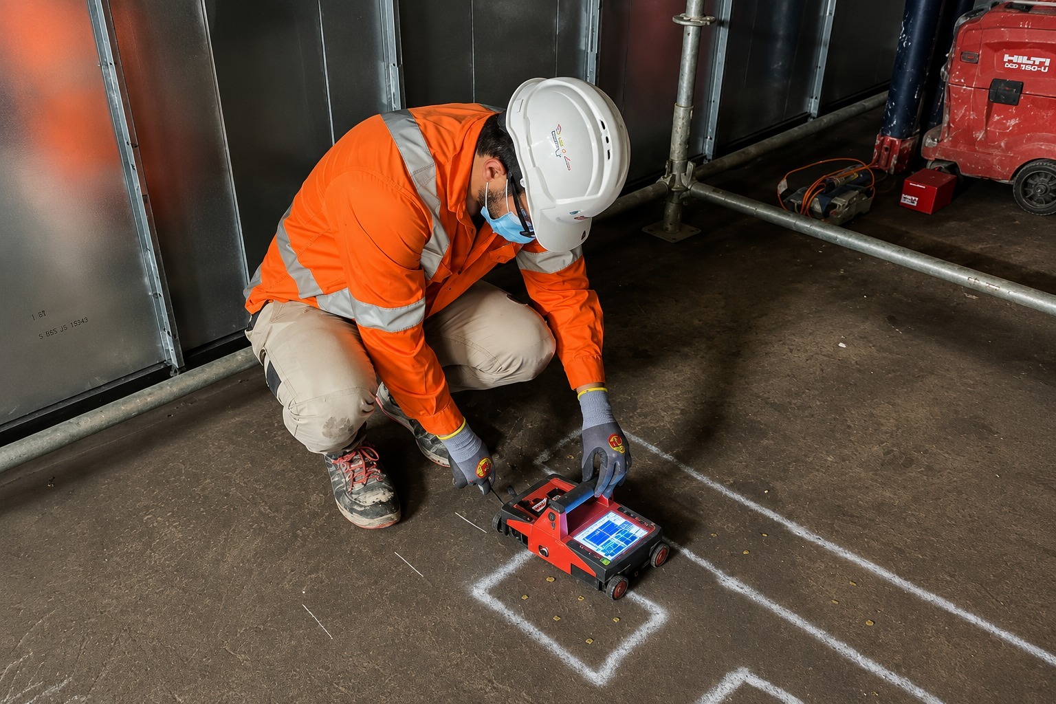
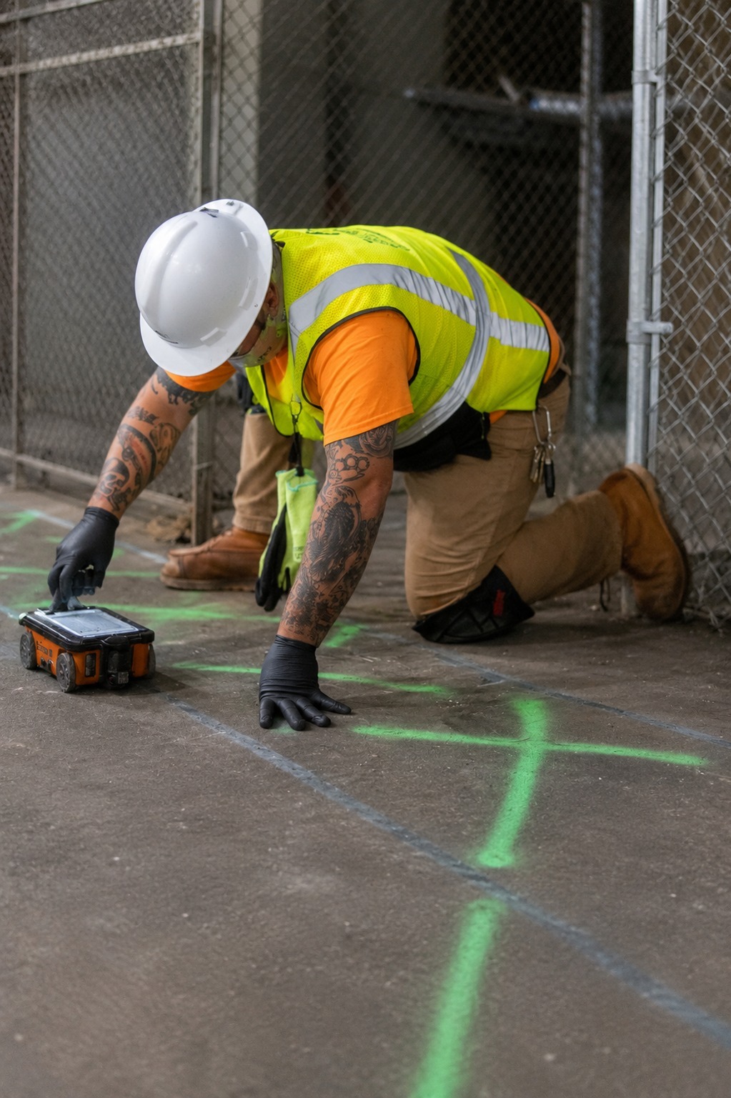
Detect rebar, conduits, post-tension cables, and other embedded features in concrete before drilling, cutting, or coring begins.
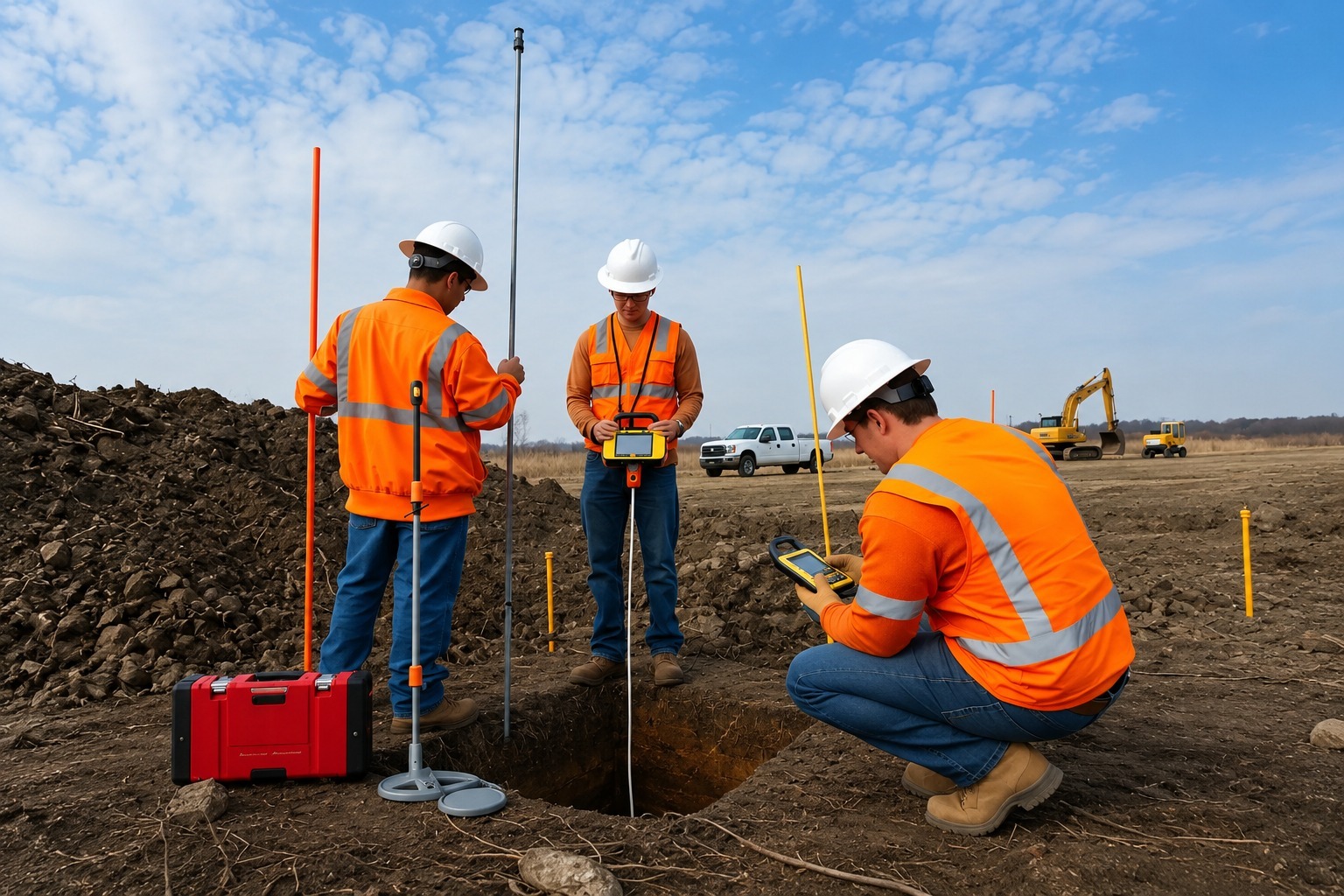
Create detailed GPS and GIS utility maps that organize underground infrastructure data for accurate planning, documentation, and future projects.
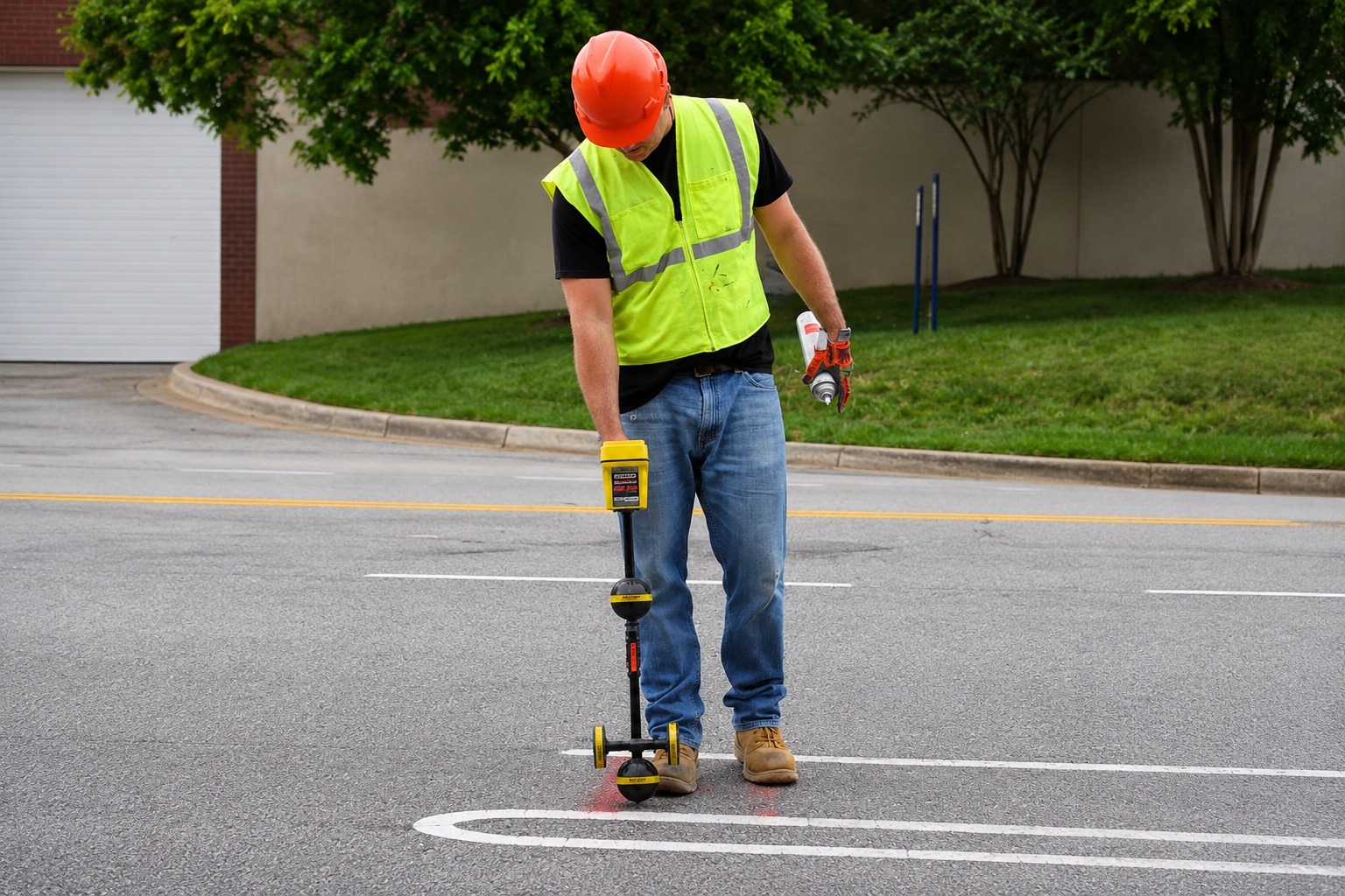
Locate privately owned underground utilities that may not be identified by public utility marking services before excavation or construction.
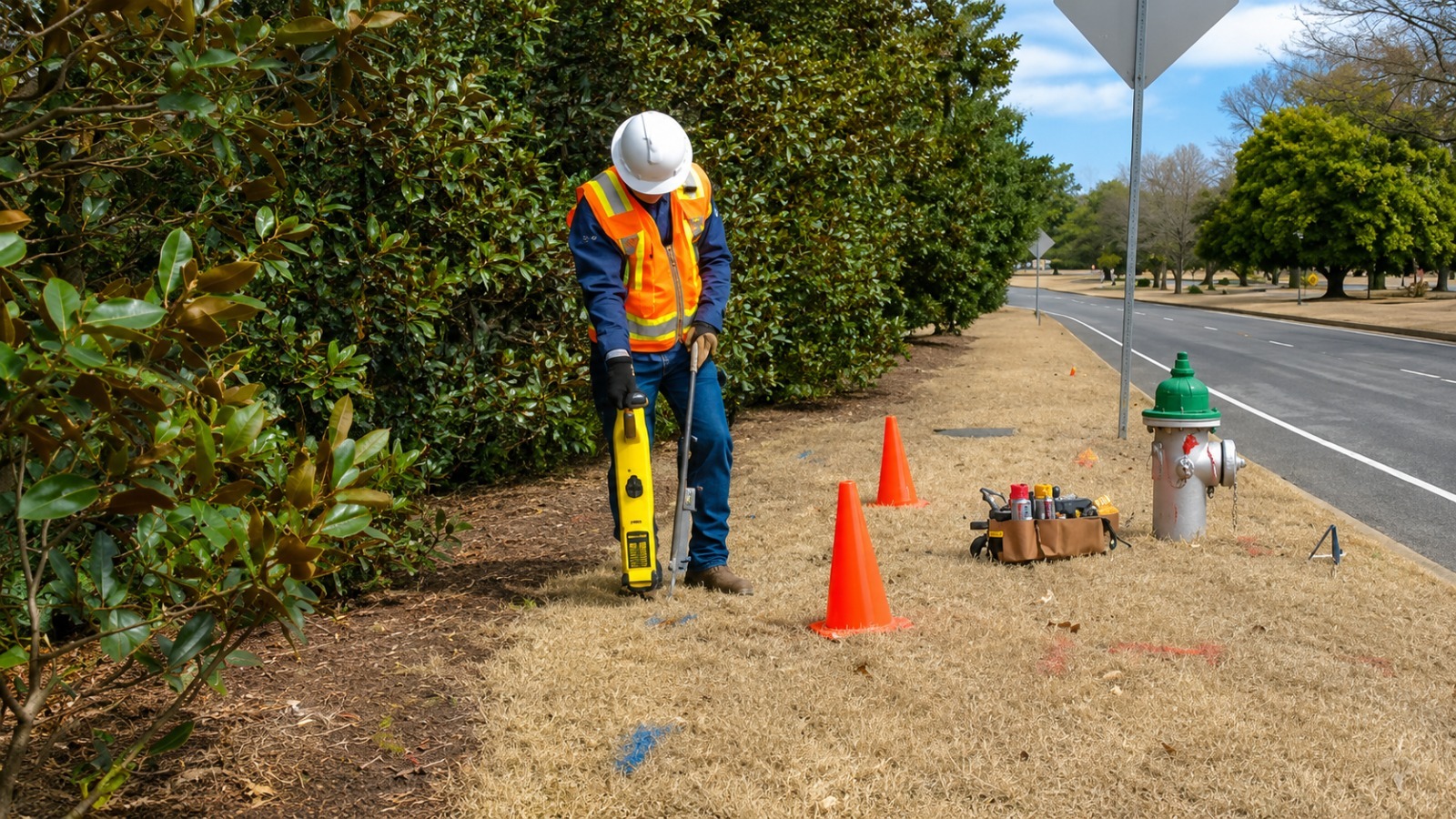
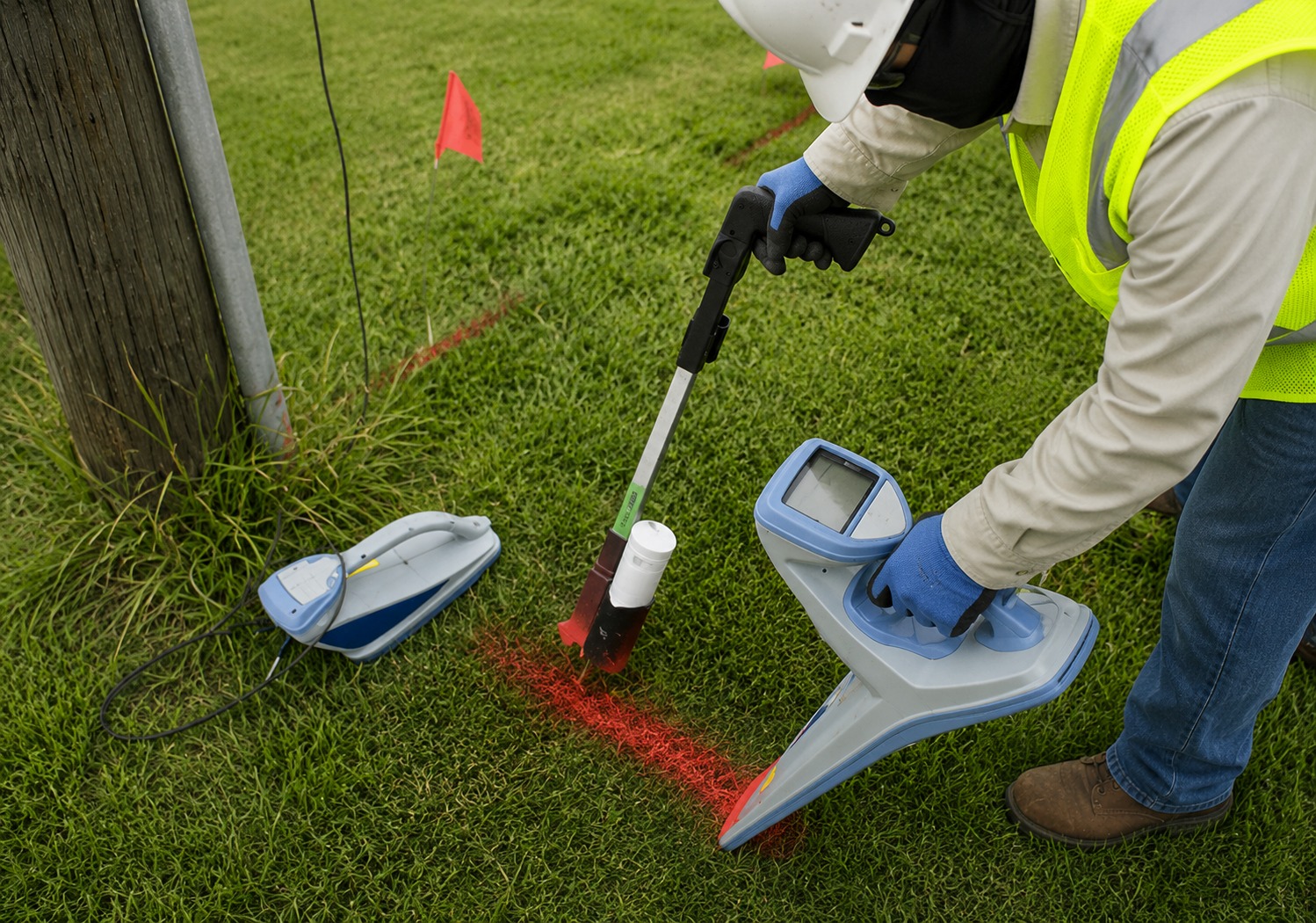
Clearly mark underground utility lines on-site to help crews identify utility locations and plan excavation, construction, and other ground work.
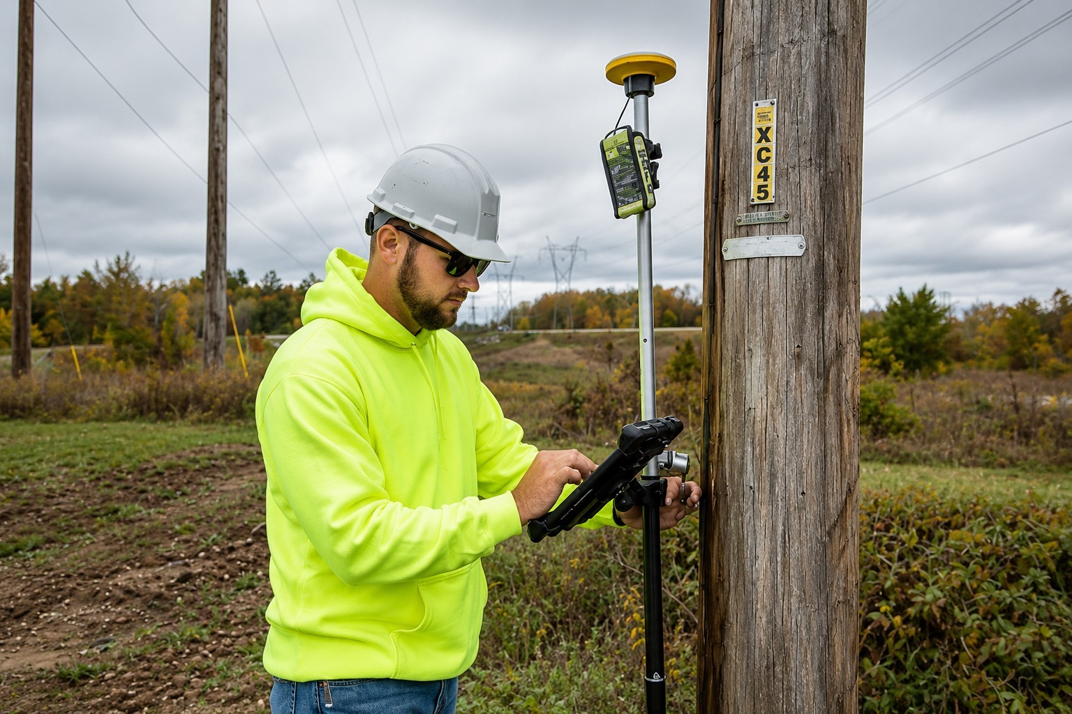
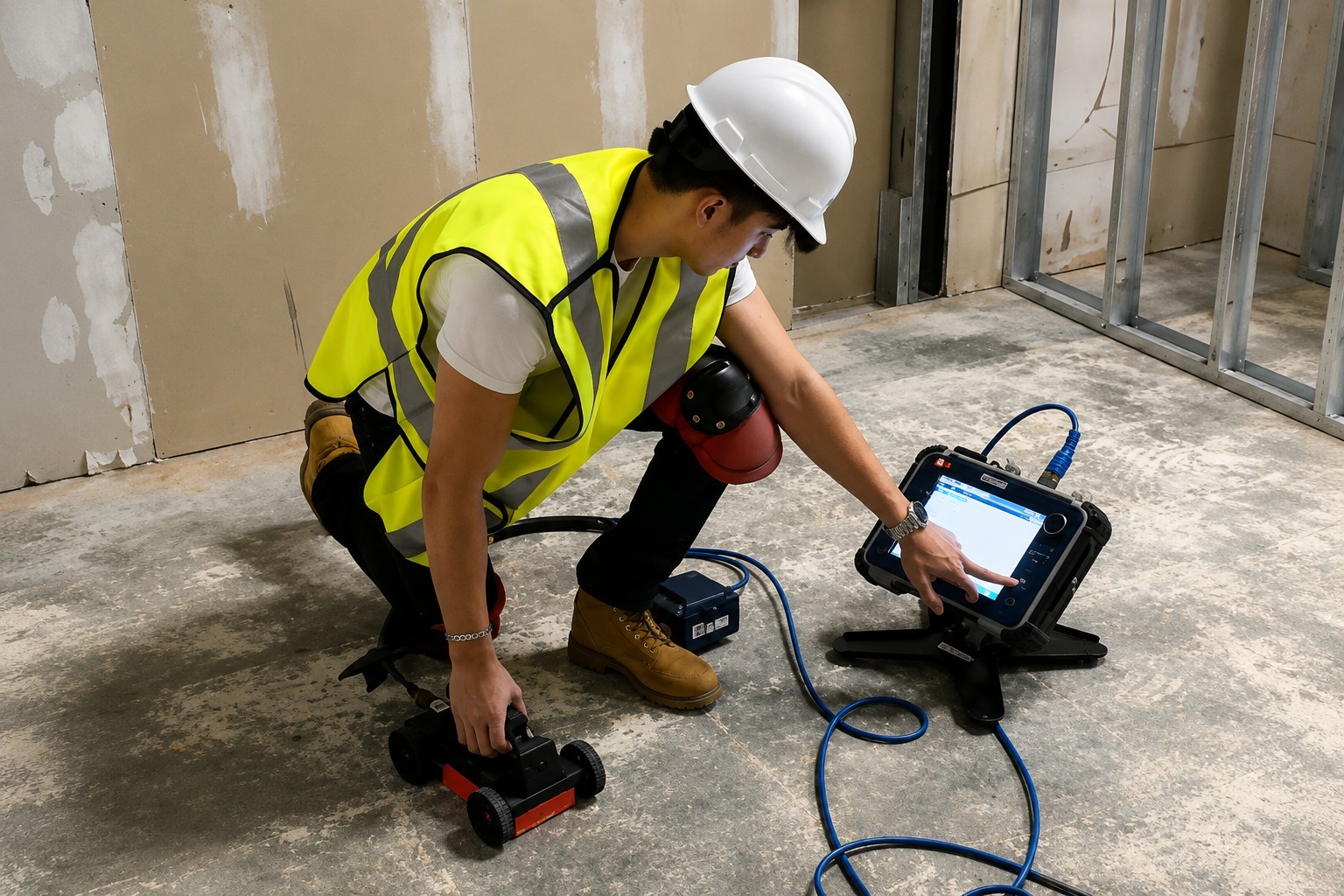
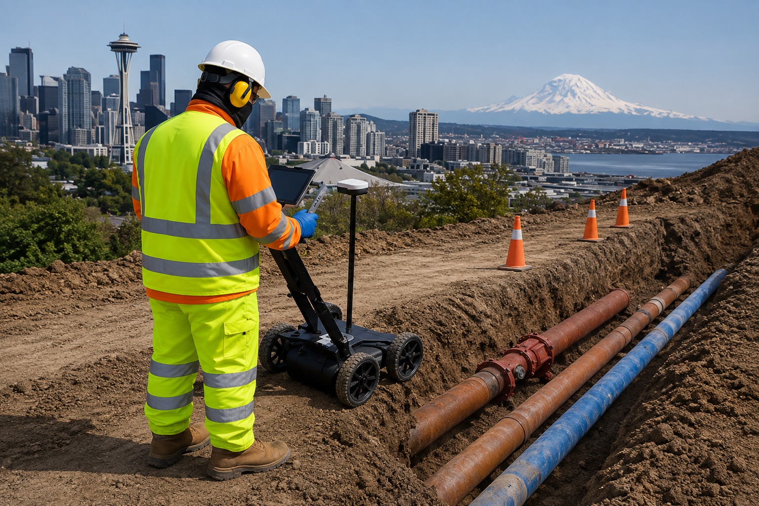
Use advanced GPR scanning to identify subsurface utilities, structures, voids, and anomalies without unnecessary excavation or disruption.
The Process
Our Simple 3 Step Process

Contact Us
Start by completing the 'Get a Free Quote' form on our website to share your needs with us so we can take care of you.

Schedule Your Estimate
Next, we'll arrange a property visit at a time that works for you to provide an in-person estimate for your needs.

Get The Job Done
After you approve our estimate, we'll schedule a date to complete the job. Our team will work hard to exceed your expectations!
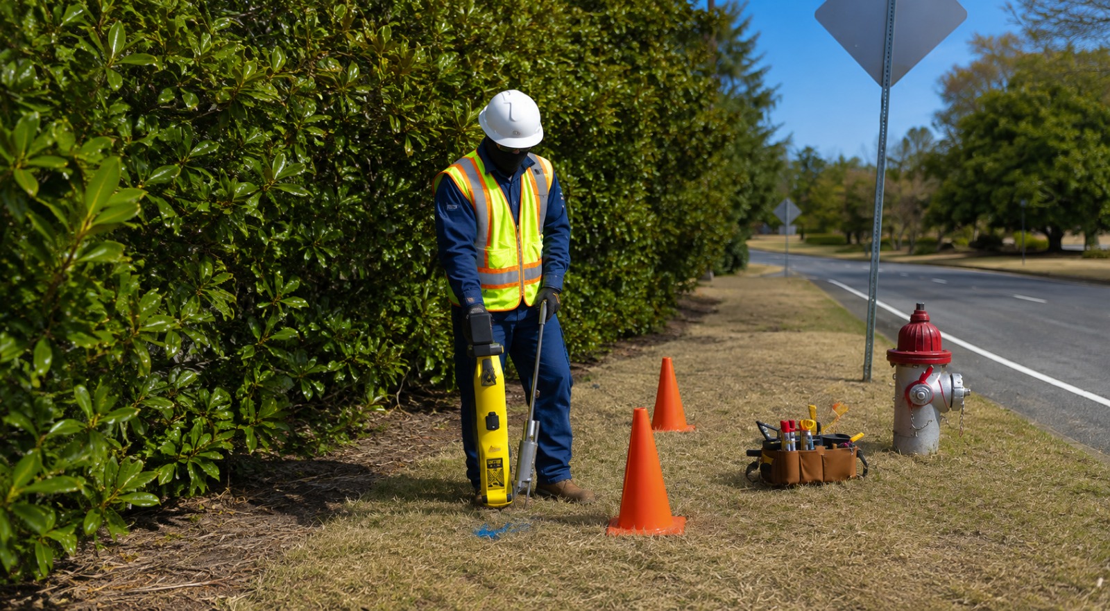
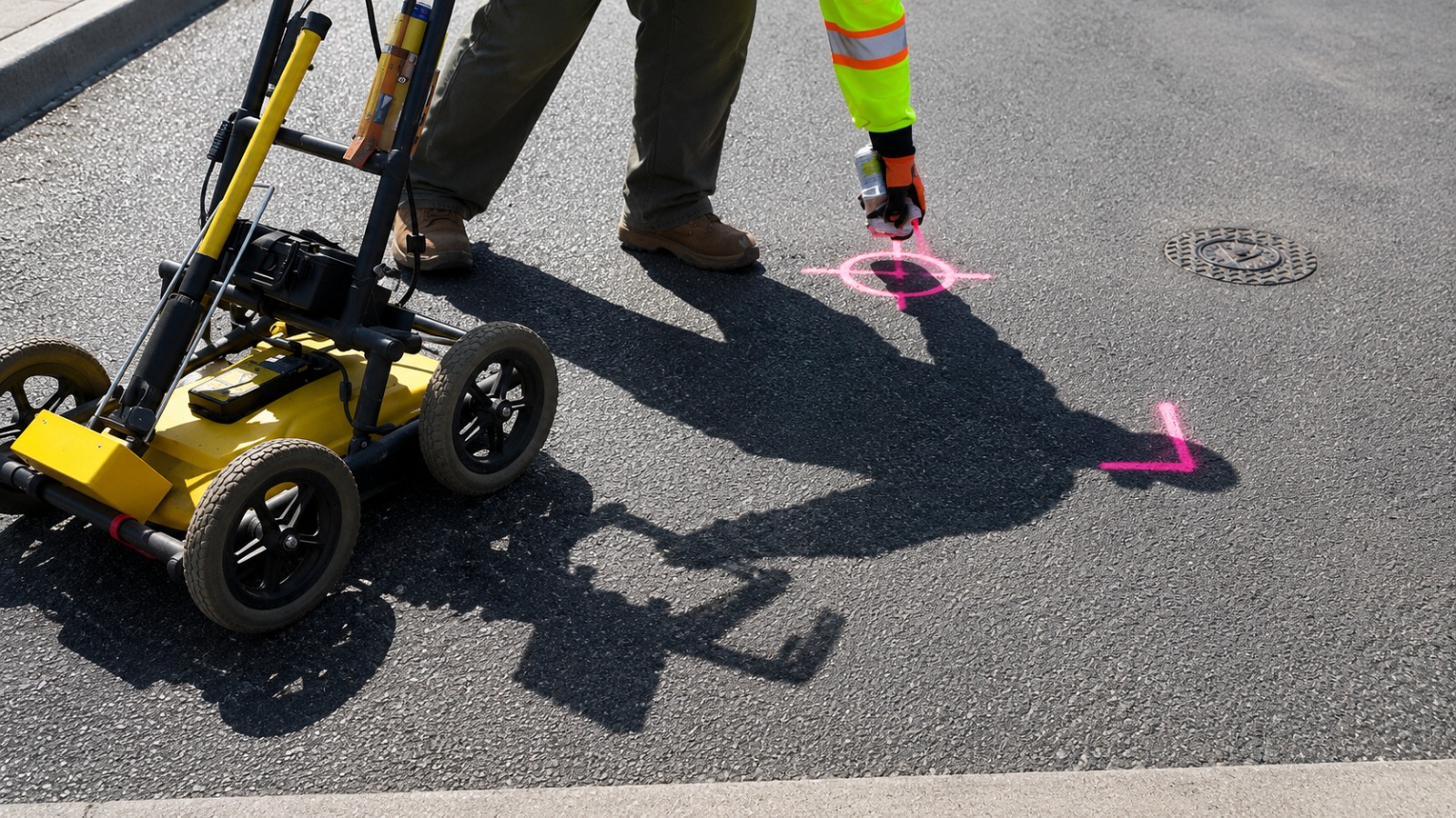
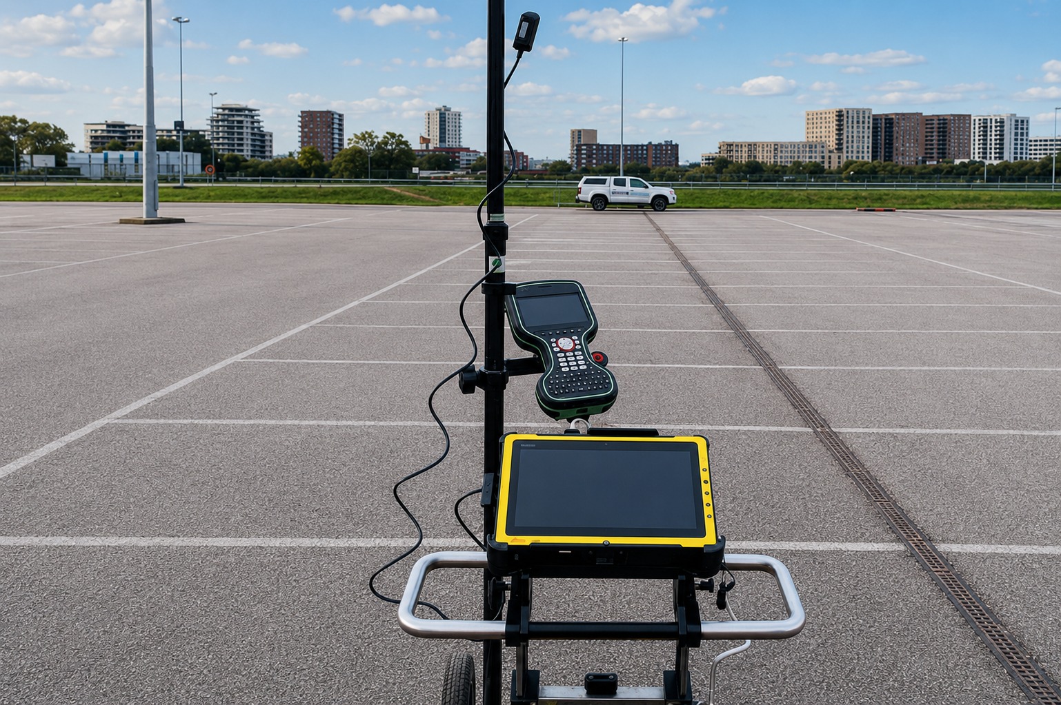
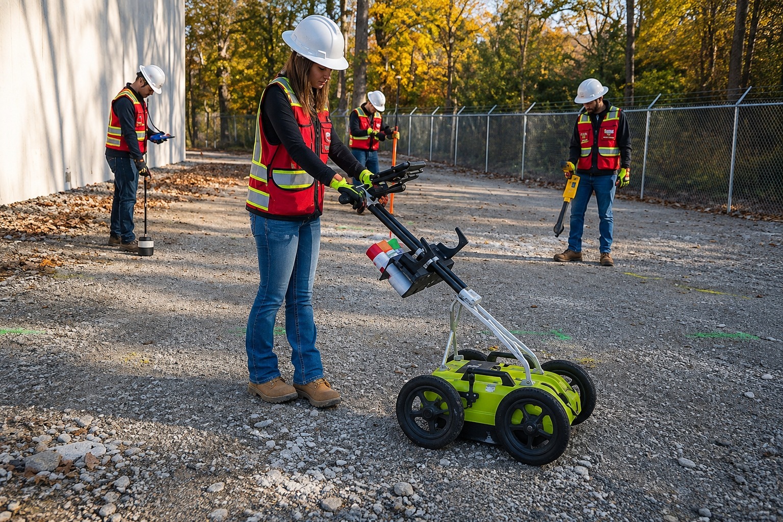
photo gallery
See Why Our Customers Love Us
Our Service Area?
Milwaukee
Madison
Green Bay
Kenosha
Racine
Appleton
Waukesha
Eau Claire
Oshkosh
Janesville
West Allis
La Crosse
Sheboygan
Wauwatosa
Fond du Lac
Brookfield
New Berlin
Wausau
Beloit
Greenfield
Franklin
Menasha
Superior
Stevens Point
De Pere
Sun Prairie
Fitchburg
Manitowoc
Marshfield
Oak Creek
Middleton
Mequon
Watertown
Wisconsin Rapids
Muskego
Neenah
Stoughton
Whitewater
Beaver Dam
Verona
Port Washington
Baraboo
Hudson
Ashland
Rhinelander
Monroe
Platteville
Rice Lake
Tomah
Sparta
Onalaska
Menomonie
Chippewa Falls
River Falls
Marshfield
Fort Atkinson
Elkhorn
Oconomowoc
Watertown
Plymouth
Our Reviews
What Our Customers Have to Say About Us!
Utility Locating & Mapping Wisconsin provided excellent service from start to finish. The team was professional, responsive, and thorough. Their utility locating helped our construction project move forward with confidence.

We had a great experience with the team. They provided clear utility markings and detailed mapping that made planning our project much easier. Everything was handled professionally and on schedule.
Very impressed with the quality of service. The team was knowledgeable, efficient, and easy to work with. Their GPR scanning and mapping gave us the information we needed before starting our proj
FREQUENTLY ASKED QUESTIONS
What is private utility locating?
Private utility locating identifies underground utility lines that may not be covered by standard public utility marking services. Our professional locating services help identify utilities such as water lines, electrical lines, gas lines, communication lines, and other underground infrastructure before excavation or construction begins.
Why is underground utility mapping important?
Underground utility mapping provides a clearer understanding of what is located beneath a property or project site. Accurate utility information can help contractors, developers, and property owners plan excavation and construction more effectively while reducing the risk of encountering unknown underground infrastructure.
What is Ground Penetrating Radar (GPR) scanning?
Ground Penetrating Radar (GPR) scanning uses radar technology to detect subsurface features without requiring excavation. GPR can help identify underground utilities, voids, structures, and other subsurface anomalies, making it a useful solution for construction, renovation, and site investigation projects.
Do you provide concrete scanning services?
Yes. Our concrete scanning services help identify objects and structures embedded within concrete before drilling, cutting, coring, or other work is performed. Scanning can help locate rebar, conduits, post-tension cables, and other embedded features, providing valuable information for safer project planning.
What areas do you serve in Wisconsin?
We provide utility locating and mapping services throughout Wisconsin, supporting projects in communities ranging from major cities to smaller municipalities. Our service areas include locations such as Milwaukee, Madison, Green Bay, Kenosha, Racine, Appleton, Waukesha, Eau Claire, and many other Wisconsin communities.
Request A Free Quote
BUSINESS
SERVICES
SERVICE AREAS
OPERATING HOURS
Sun: Closed
Mon: 7:00am - 7:00pm
Tue: 7:00am - 7:00pm
Wed: 7:00am - 7:00pm
Thu: 7:00am - 7:00pm
Fri: 7:00am - 7:00pm
Sat: 7:00am - 7:00pm